MAKE A MEME
View Large Image

| View Original: | Nanfan.jpg (994x768) | |||
| Download: | Original | Medium | Small | Thumb |
| Courtesy of: | commons.wikimedia.org | More Like This | ||
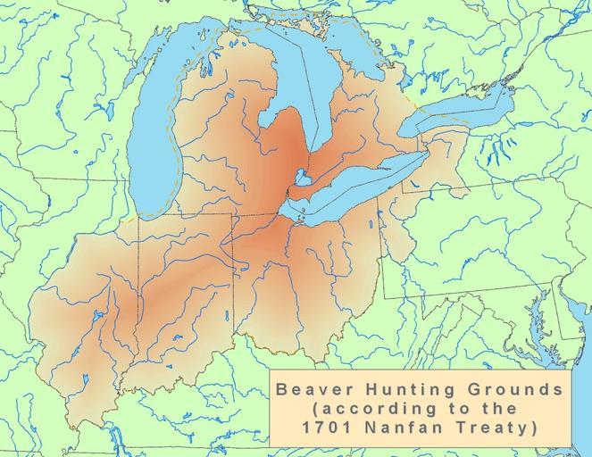
| Keywords: Nanfan.jpg Nanfan Treaty of 1701 Iroquois lands in the Great Lakes region of North America Own CJLippert 2008-10-23 Image Nanfan svg Nanfan svg Revision History 17 03 19 October 2008 Uploaded map based on http //www hwcn org/~forhv/pdfs/1701 20Nanfan 20Treaty 20map 20 marked pdf this 15 45 20 October 2008 Adjusted part of boundary to follow the Chicago Portage 19 02 20 October 2008 Adjusted part of boundary to better match shape suggested by http //www hwcn org/~forhv/pdfs/1701 20Nanfan 20Treaty 20map 20 marked pdf this 13 19 23 October 2008 Adjusted boundaries to reflect what the John Mitchell's map records along with what various other documents produced by the British during the Queen Anne's War though this map no longer resembles the shape suggested by http //www hwcn org/~forhv/pdfs/1701 20Nanfan 20Treaty 20map 20 marked pdf this Iroquois maps Maps showing 18th-century history Maps of the Great Lakes Maps of Ontario Maps of Michigan Maps of Illinois Maps of Indiana Maps of Ohio Maps of Pennsylvania Maps of New York Maps of Native American tribal territories Maps of the Midwestern United States United States in the 18th century 1701 in North America | ||||