MAKE A MEME
View Large Image

| View Original: | Newworldmap.png (1488x755) | |||
| Download: | Original | Medium | Small | Thumb |
| Courtesy of: | commons.wikimedia.org | More Like This | ||
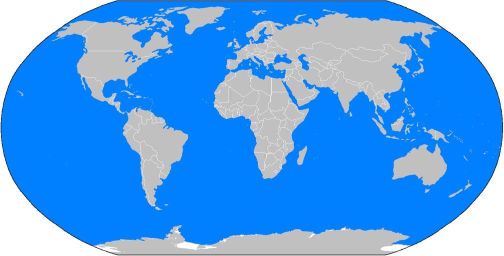
| Keywords: Newworldmap.png A blank map of the world as of 2005 with country outlines for making country locator maps Similar to Image BlankMap-World png/ Image BlankMap-World-alt png with additions of the projection periphery and rendition of Antarctica et al this map uses the Robinson projection centered on the Greenwich Prime Meridian and includes various microstates/island nations Major bodies of water are coloured blue All territories indicated in the http //unstats un org/unsd/methods/m49/m49regin htm UN listing of territories and regions are exhibited The map was made by en User Vardion; adapted by en User Cool Cat/ en User E Pluribus Anthony for Wikipedia User Hoshie has added Montenegro Kosovo disputed and South Sudan to the map Newworldmap svg E Pluribus Anthony Original upload log page en wikipedia Newworldmap png 2007-06-26 14 54 Tom Edwards 1024×518× 105032 bytes <nowiki>transparency</nowiki> 2006-12-04 21 48 Chanheigeorge 1488×755× 35771 bytes <nowiki>add Serbia-Montenegro border</nowiki> 2006-07-26 01 09 Brianski 1488×755× 28896 bytes <nowiki>optimized using pngcrush</nowiki> 2006-04-13 18 16 E Pluribus Anthony 1488×755× 37192 bytes <nowiki>World map blank with borders blue water 2005 </nowiki> 2006-03-28 02 27 E Pluribus Anthony 1488×755× 37172 bytes <nowiki>World map blank with borders blue water 2005 </nowiki> 2006-03-26 18 22 E Pluribus Anthony 1488×755× 37171 bytes <nowiki>World map blank with borders blue water 2005 </nowiki> 2006-01-13 13 00 E Pluribus Anthony 1357×628× 28811 bytes <nowiki>World map blank with borders blue water 2005 </nowiki> 2006-01-04 10 23 E Pluribus Anthony 1357×628× 28780 bytes <nowiki>World map blank with borders blue water 2005 </nowiki> 2005-07-29 21 47 とある白い猫 1357×628× 45923 bytes <nowiki>Going to improve this to include even the smallest island nations </nowiki> Blank maps of the world | ||||