MAKE A MEME
View Large Image

| View Original: | NorthSea395AD.jpg (684x775) | |||
| Download: | Original | Medium | Small | Thumb |
| Courtesy of: | commons.wikimedia.org | More Like This | ||
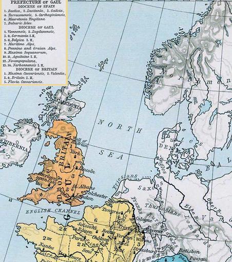
| Keywords: NorthSea395AD.jpg Description North Sea Section Cropped Das römische Reich zum Zeitpunkt des Todes Theodosius' I 395 n Chr Source German Wikipedia original upload 13 Okt 2004 by Benowar enhanced by wolpertinger There from Shepherd William R Historical Atlas New York Henry Holt and Company 1923 Maps of the history of Europe PD-old Maps of the North Sea Maps of ancient Rome Maps showing history by William R Shepherd Maps showing history of Europe | ||||