MAKE A MEME
View Large Image

| View Original: | Obcine Slovenija 2006 Zagorje ob Savi.svg (2613x1705) | |||
| Download: | Original | Medium | Small | Thumb |
| Courtesy of: | commons.wikimedia.org | More Like This | ||
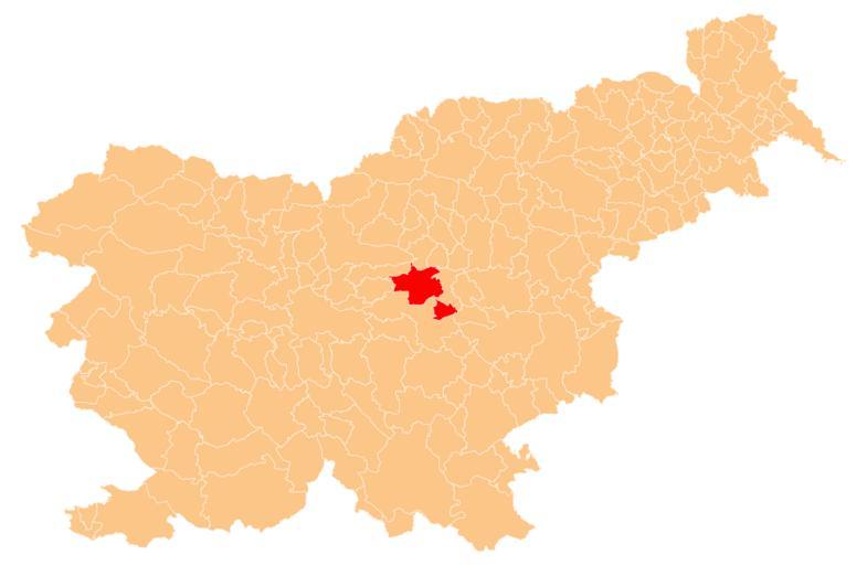
| Keywords: Obcine Slovenija 2006 Zagorje ob Savi.svg en Občina Zagorje ob Savi marked red on map of the municipalities občine of the Republic of Slovenia as since May 2006 210 units Manipulated Image Obcine Slovenija 2006 svg in text editor Source of http //www gu gov si/si/delovnapodrocja_gu/podatki_gu/brezplani_podatki/brezplani_podatki_obine/ the public data is http //www gu gov si/ GURS Geodetska uprava Republike Slovenije or Surveying and Mapping Authority of the Republic of Slovenia Converted from Shapefile to SVG with http //www carto net/papers/svg/utils/shp2svg/ shp2svg and prepared for Wikipedia by romanm talk 2009-05-12 Public domain See Image Obcine Slovenija 2006 svg for an explanation Locator maps of municipalities of Slovenia Municipality of Zagorje ob Savi | ||||