MAKE A MEME
View Large Image
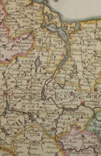
| View Original: | Oder1600brandpom.gif (184x284) | |||
| Download: | Original | Medium | Small | Thumb |
| Courtesy of: | commons.wikimedia.org | More Like This | ||
| Keywords: Oder1600brandpom.gif Die Oder in Brandenburg und Pommern Ausschnitt aus der Karte des obersächsischen Reichskreises in der ersten Hälfte des 18 Jahrhunderts herausgegeben von dem AMsterdamer Verleger Isaak Tirion 1705-1765 River Oder in the territories of Brandenburg and Pomerania cut of a map of the Upper Saxonian Region of the Holy Roman Empire edited by Isaak Tirion 1705-1765 bookseller an editor in Amsterdam cut of Image OpperSaxiseKreits gif found in the internet and uploaded by myself too Ulamm 12 17 15 February 2008 UTC PD-old Maps made in the 18th century Maps showing 18th century Isaak Tirion Parts of old maps of Brandenburg Old maps of Mecklenburg-Vorpommern | ||||