MAKE A MEME
View Large Image

| View Original: | OH 4 Bypass map alternate colors.svg (1006x591) | |||
| Download: | Original | Medium | Small | Thumb |
| Courtesy of: | commons.wikimedia.org | More Like This | ||
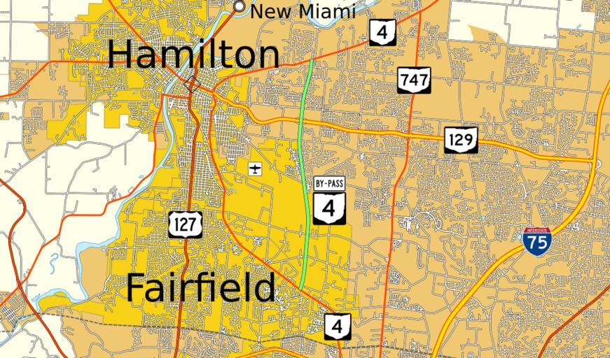
| Keywords: OH 4 Bypass map alternate colors.svg Map of Ohio State Route 4 Bypass with alternate coloring based on potential standards mentioned here Explicitly in public domain so that anyone may upload new versions as new standards evolve own data from http //www census gov/cgi-bin/geo/shapefiles2012/main U S Census Bureau inkscape 2014-01-05 Mr Matté Explicitly released into public domain for any use and free re-upload as needed File OH 4 Bypass map svg Road maps of Ohio 4-Bypass Maps created by User Mr Matté 4-Bypass Ohio State Route 4 | ||||