MAKE A MEME
View Large Image

| View Original: | Ohio_river_1766.png (3717x1867) | |||
| Download: | Original | Medium | Small | Thumb |
| Courtesy of: | commons.wikimedia.org | More Like This | ||
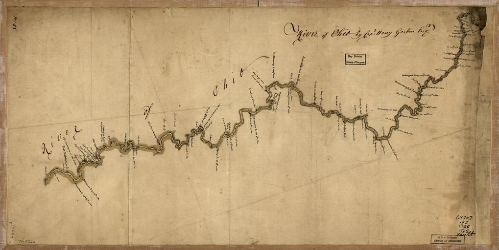
| Keywords: Ohio river 1766.png Scale ca 1 2 000 000 Manuscript pen-and-ink and watercolor Has watermark Relief shown by hachures No 23 Includes latitude readings at spots along the river and notes on the width of tributaries Reference LC Maps of North America 1750-1789 782 Library of Congress Geography and Map Division<br/> Transferred from http //en wikipedia org en wikipedia to Commons by User Ronhjones using http //tools wikimedia de/~magnus/commonshelper php CommonsHelper 1766 Gordon Harry fl 1766 http //memory loc gov/cgi-bin/query/D gmd 7 /temp/~ammem_yCRL PD-old-100 Original upload log page en wikipedia Ohio_river_1766 png 2011-04-21 00 18 Ronhjones 3717×1867× 10360844 bytes Reduced by 50 to allow wiki software to work 2010-11-19 13 59 Thatguy73 7434×3734× 38559209 bytes <nowiki> Scale ca 1 2 000 000 Manuscript pen-and-ink and watercolor Has watermark Relief shown by hachures No 23 Includes latitude readings at spots along the river and notes on the width of tributaries Reference </nowiki> Ohio River Maps of Ohio 1766 maps | ||||