MAKE A MEME
View Large Image

| View Original: | Parsteiner_See_map_1842.JPG (657x502) | |||
| Download: | Original | Medium | Small | Thumb |
| Courtesy of: | commons.wikimedia.org | More Like This | ||
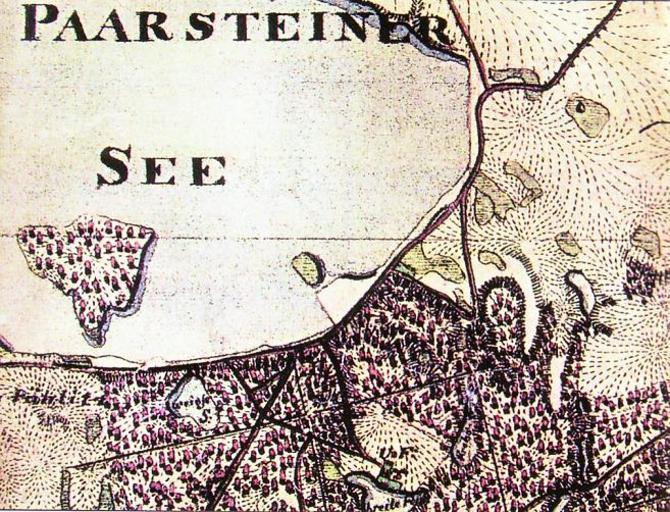
| Keywords: Parsteiner See map 1842.JPG Parsteiner See Ausschnitt aus dem Urmesstischblatt von 1842 Die Karte zeigt die heutige Halbinsel Pehlitzwerder noch als Insel Der Parsteiner See ist ein Zungenbeckensee im Biosphärenreservat Schorfheide-Chorin des Brandenburger Landkreises Barnim und umfasst 10 03 km² Parsteiner See historical map from 1842 part The map shows todays peninsula Pehlitzwerder as former isle The Parsteiner See is a finger lake proglacial lake in Germany Brandenburg District Barnim and covers 10 03 km² Wolf Russow Nadine Jentzsch Chronik des Klosters Mariensee 1258 “ 1273 “ 2007 Druckhaus Eberswalde Eberswalde 2007 page 48 ISBN 3-936932-13-1 1842 author PD-Art Parts of old maps of Brandenburg | ||||