MAKE A MEME
View Large Image
| View Original: | Pinkerton-1812-Cotagaita-2.jpg (973x670) | |||
| Download: | Original | Medium | Small | Thumb |
| Courtesy of: | commons.wikimedia.org | More Like This | ||
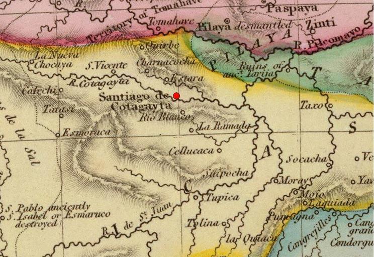
| Keywords: Pinkerton-1812-Cotagaita-2.jpg es Alto Perú Santiago de Cotagaita Detalle de un mapa de las Provincias Unidas en 1812 Atlas de Cadell Davies Strand Longman Hurst Rees Orme Brown Paternoster Row Creator John Pinkerton 1812 History of Argentina from Independence to the Constitution of 1853 Maps by John Pinkerton PD-old-100 | ||||