MAKE A MEME
View Large Image
| View Original: | Plan_of_the_coast_Florida_&_Louisiana_1778.PNG (1704x842) | |||
| Download: | Original | Medium | Small | Thumb |
| Courtesy of: | commons.wikimedia.org | More Like This | ||
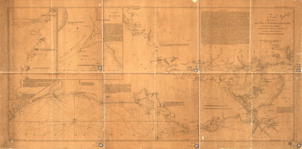
| Keywords: Plan of the coast Florida & Louisiana 1778.PNG A Plan of the coast of part of west Florida Louisiana including the River Yazous / Surveyed by George Gauld M A for the Right Honourable the Board of Admiralty http //memory loc gov/cgi-bin/query/r ammem/gmd field NUMBER+ band g4012c+ct000670 The Library of Congress 1778 George Gauld 1732-1782 PD-USGov 1778 maps Old maps of Florida Old maps of Louisiana Maps of West Florida | ||||