MAKE A MEME
View Large Image
| View Original: | Proctor_Narrows,_looking_west_from_a_pint_on_south_bank_of_West_Arm._-_NARA_-_298513.jpg (3000x1851) | |||
| Download: | Original | Medium | Small | Thumb |
| Courtesy of: | commons.wikimedia.org | More Like This | ||
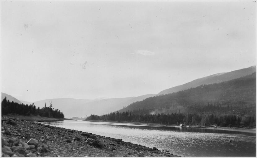
| Keywords: Proctor Narrows, looking west from a pint on south bank of West Arm. - NARA - 298513.jpg Scope and content The records relate to the Canadian-U S International Joint Commission's investigation of water levels in the Kootenai River and Kootenai Lake and document water storage management and dike failures during floods General notes 298513 Local identifier Department of the Interior Geological Survey Water Resources Division 1949 - 1992 Most Recent <br /> Department of the Interior Geological Survey Water Resources Branch 1906 - 1949 Predecessor NARA's Pacific Alaska Region Seattle NRIAS 6125 Sand Point Way NE Seattle WA 98115-7999 1928-10-11 Record group Record Group 57 Records of the U S Geological Survey 1839 - 2008 Record group ARC 386 Records of the Kootenai Valley Investigation compiled ca 1905 - ca 1958 Series ARC 298500 File unit File unit ARC Variant control numbers NAIL Control Number NRIS-57-KOOTENAI-KOOT13 Other versions <gallery> File Proctor_Narrows _looking_west_from_a_pint_on_south_bank_of_West_Arm _-_NARA_-_298513 tif tif File Proctor_Narrows _looking_west_from_a_pint_on_south_bank_of_West_Arm _-_NARA_-_298513 jpg jpg </gallery> NARA-cooperation PD-USGov Kootenay River 1928 in the United States | ||||