MAKE A MEME
View Large Image

| View Original: | Pumpkin Vine Railroad route.svg (479x600) | |||
| Download: | Original | Medium | Small | Thumb |
| Courtesy of: | commons.wikimedia.org | More Like This | ||
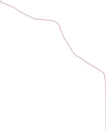
| Keywords: Pumpkin Vine Railroad route.svg This is a map of a portion of the former route of the Pumpkin Vine Railroad in the United States It is intended to be used as a geographic overlay in Google Earth where traces of the route can still be seen on satellite images My own work using data from Google Earth images and from the 1877 Atlas of Warren County by J H Beers and Company Chicago 2008-10-13 Omnedon overlay | ||||