MAKE A MEME
View Large Image

| View Original: | Regionalverband Ruhr location map 04.svg (7041x4763) | |||
| Download: | Original | Medium | Small | Thumb |
| Courtesy of: | commons.wikimedia.org | More Like This | ||
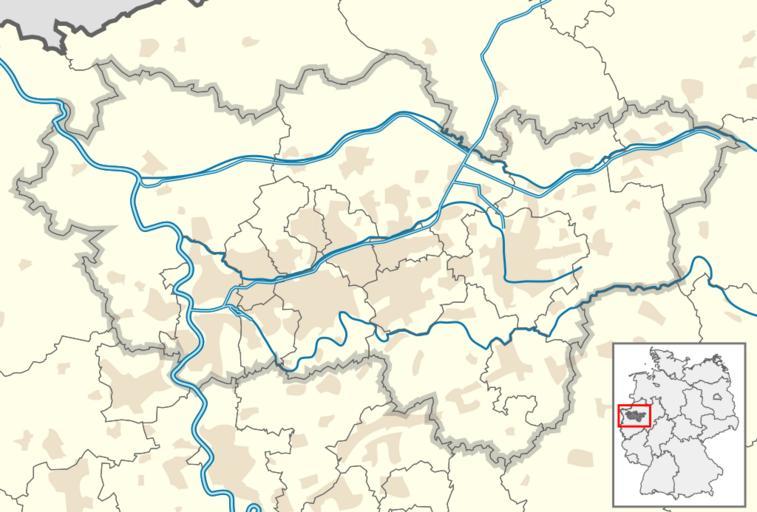
| Keywords: Regionalverband Ruhr location map 04.svg Positionskarte Regionalverband Ruhr in Nordrhein-Westfalen Geographische Begrenzung der Karte Position map of Regionalverband Ruhr North Rhine-Westphalia Germany Geographic limits of the map Regionalverband Ruhr Rhénanie-du-Nord-Westphalie Allemagne N 51 9019° N S 51 1552° N W 6 2649° O E 8 0585° O TUBS/Translation Adobe Illustrator own based on File North Rhine-Westphalia location map 02 svg - TUBS File North rhine w template 2 svg - TUBS 2009-06-28 TUBS <gallery> File Regionalverband Ruhr location map svg brownred File Regionalverband Ruhr location map 02 svg grey File Regionalverband Ruhr location map 03 svg grey-violett File Regionalverband Ruhr location map 04 svg with waterways </gallery> TUBS GFDL cc-by-3 0 2 5 2 0 1 0 cc-by-sa-3 0 2 5 2 0 1 0 TUBS/Credits Regionalverband Ruhr Location maps of North Rhine-Westphalia SVG maps of North Rhine-Westphalia Maps of the Ruhr area | ||||