MAKE A MEME
View Large Image

| View Original: | Reifferscheid_1400.png (289x217) | |||
| Download: | Original | Medium | Small | Thumb |
| Courtesy of: | commons.wikimedia.org | More Like This | ||
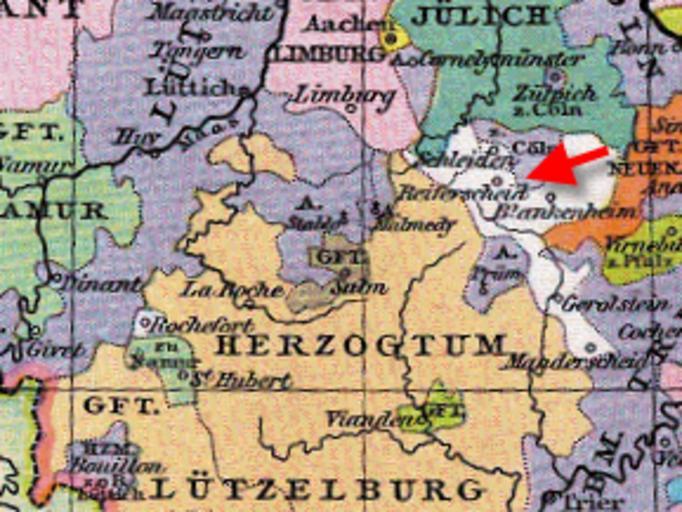
| Keywords: Reifferscheid 1400.png Reifferscheid um 1400 Reifferscheid around 1400 Heiliges_Römisches_Reich_1400 png 2010-01-05 22 21 UTC Heiliges_Römisches_Reich_1400 png Gustav Droysen derivative work Beckstet <span class signature-talk >talk</span> Cutout of the original file Beckstet Heiliges_Römisches_Reich_1400 png PD-old original upload log This image is a derivative work of the following images File Heiliges_Römisches_Reich_1400 png licensed with PD-old 2007-07-26T18 22 32Z Alma 2788x2299 2585211 Bytes <nowiki> Heiliges Römisches Reich um 1400 Allgemeiner historischer Handatlas 1886 Gustav Droysen pd-old </nowiki> Uploaded with derivativeFX Maps of territories in the Lower Rhenish-Westphalian Circle Reifferscheid Old maps of North Rhine-Westphalia Reifferscheid | ||||