MAKE A MEME
View Large Image

| View Original: | Safavid_Persian_Empire_cropped_-_Caucasus.jpg (396x301) | |||
| Download: | Original | Medium | Small | Thumb |
| Courtesy of: | commons.wikimedia.org | More Like This | ||
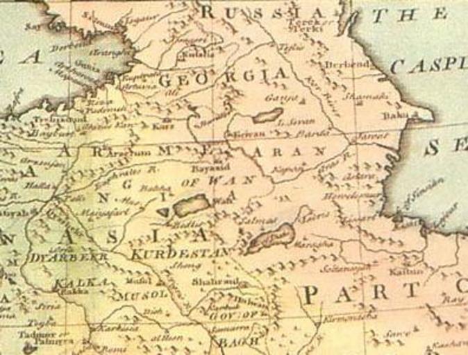
| Keywords: Safavid Persian Empire cropped - Caucasus.jpg en This historical regional map of the Middle East illustrates Asien territories of the ottoman Empire as well as Persian Safavid Empire Created by a British engraver named Emanuel Bowen between 1744 and 1752 Also showing the Persian Gulf in the map fa ž¦┘ģ┘Šž▒ž¦ž¬┘łž▒█ī žĄ┘ü┘ł█ī ž¦█īž▒ž¦┘åžī ┘å┘éž┤┘ć īž¦█ī ž¦ž▓ ž¦┘ģž¦┘å┘łž”┘ä ž©┘ł┘ł┘å ž¦┘å┌»┘ä█īž│█ī ┌®┘ć ž»ž▒ ┘ģ█īž¦┘å ž│ž¦┘ä ī┘枦█ī █▒█Ę█┤█┤ ž¬ž¦ █▒█Ę█Ą█▓ žĘž▒ž¦žŁ█ī ž┤ž»┘ć īž¦ž│ž¬ ┘垦┘ģ ž«┘ä█īž¼ ┘üž¦ž▒ž│ ž»ž▒ žó┘å ž░┌®ž▒ ž┤ž»┘ć īž¦ž│ž¬ Image Safavid_Persian_Empire jpg 2010-11-23 18 21 UTC Safavid_Persian_Empire jpg creator Emanuel Bowen derivative work Geagea <span class signature-talk >talk</span> Safavid_Persian_Empire jpg PD-old-100 Original upload log This image is a derivative work of the following images File Safavid_Persian_Empire jpg licensed with PD-old 2008-10-08T12 10 41Z Wayiran 1195x969 378466 Bytes <nowiki> en This historical regional map of the Middle East illustrates Asien territories of the ottoman Empire as well as Persian Safavid Empire Created by a British engraver named Emanuel Bowen betwee</nowiki> Uploaded with derivativeFX Emanuel Bowen Maps by Emanuel Bowen Maps made in the 18th century Safavid Empire Maps Old maps of the Caucasus Old maps of Armenia 18th-century maps of Azerbaijan 18th-century maps of Georgia | ||||