MAKE A MEME
View Large Image

| View Original: | Savo Island 1942 map.jpg (776x524) | |||
| Download: | Original | Medium | Small | Thumb |
| Courtesy of: | commons.wikimedia.org | More Like This | ||
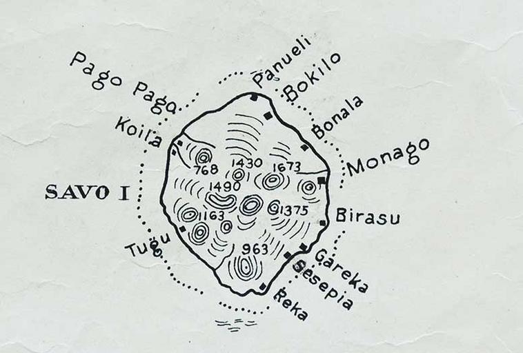
| Keywords: Savo Island 1942 map.jpg en map of Savo Island of the Solomon Islands northwest of main island of Gualdalcanal Solomon Sea Pacific Ocean 1942-12 http //www archaehistoria org/solomon-islands-archaeology/27-wwii-archaeological-sites-of-savo/174-site-savo05-leif-schroder-s-trade-store-mid-1930-s-january-1942 Mapping Sub-Section C-2 of the 1st Marine Amphibious Corps that was a formation of the United States Marine Corps other versions PD-USGov Maps of the Solomon Islands 1942 maps | ||||