MAKE A MEME
View Large Image

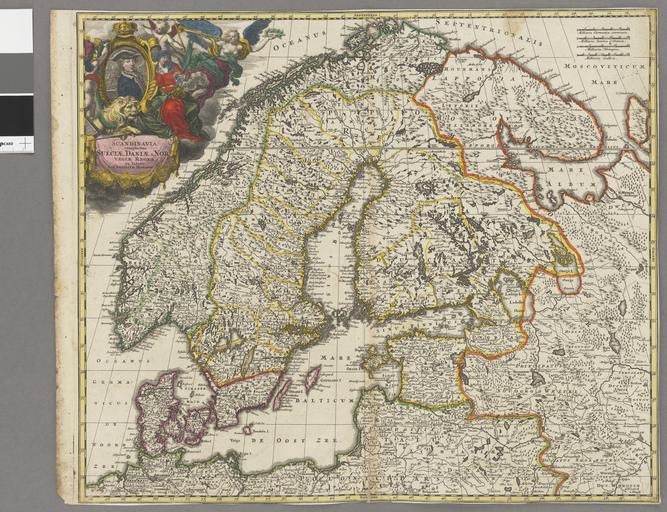
| View Original: | Scandinavia complectens SueciĂŠ, DaniĂŠ et NorvegiĂŠ regna â ex tabulis - Kungliga Biblioteket - 10348309-thumb.png (10126x7774) | |||
| Download: | Original | Medium | Small | Thumb |
| Courtesy of: | commons.wikimedia.org | More Like This | ||
| Keywords: Scandinavia complectens SueciĂŠ, DaniĂŠ et NorvegiĂŠ regna â ex tabulis - Kungliga Biblioteket - 10348309-thumb.png Schematisk topografi - LandskapsgrĂ€nser - StĂ€der och byar utsatta - Kartusch med Karl XII Johann Baptist Homann 1664-1724; creator cartographer Kungliga biblioteket image 10348309 https //data kb se/datasets/2014/06/kartor/10348309_1ab_HomanScandinavia_109231 tif Per the https //data kb se/datasets/2014/06/kartor/ source the digitisations are under CC-0 map date Skandinavien 4300000 5 00000/46 66667 71 33333/52 83333 1 karta la unknown NĂŒrnberg Germany print date between 1703 1718 institution National Library of Sweden accession number 10348309 47 x 56 cm kopparstick Ioh Babtista Homanni S KB s ex A Kartusch handkolorerad Kartan grĂ€nskolorerad ; Ex B Handkolorerat Kartusch ej kolorerat Skalstock 24 milliaria suecia e danica 5 2 cm Scale is approximate other versions File Scandinavia complectens SueciĂŠ DaniĂŠ et NorvegiĂŠ regna ex tabulis - Kungliga Biblioteket - 10348309 tif 1 Old maps Maps digitised by the National Library of Sweden Old maps of Scandinavia Content made available through Wikimedia Sverige partnerships | ||||