MAKE A MEME
View Large Image
| View Original: | Shirakami Mountains Relief Map, SRTM-1 (with UNESCO World Heritage Site).jpg (2000x1500) | |||
| Download: | Original | Medium | Small | Thumb |
| Courtesy of: | commons.wikimedia.org | More Like This | ||
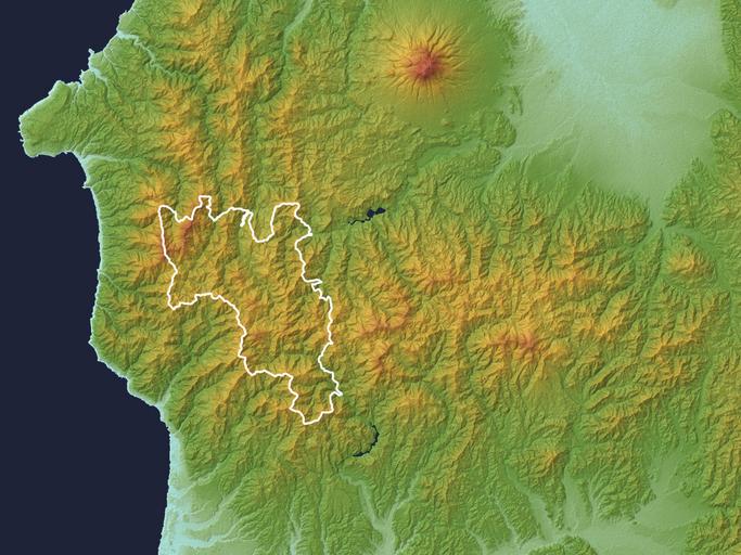
| Keywords: Shirakami Mountains Relief Map, SRTM-1 (with UNESCO World Heritage Site).jpg Relief map of Shirakami Mountains with UNESCO World Heritage Site Aomori Prefecture Akita Prefecture T┼Źhoku region Honshu Japan Data from SRTM-1 30m Mesh Ver 3 2014 ķ ƵŻ«ń īŃü©ń¦ŗńö░ń īŃü«ÕóāńĢīŃü½ŃüéŃéŗńÖĮńź×Õ▒▒Õ ░Ńü«ķÖ░ÕĮ▒µ«ĄÕĮ®Õø│Ńü©õĖ¢ńĢīķü║ńöŻŃü«µīćÕ«Üń»äÕø▓Ń é õĖ¢ńĢīķü║ńöŻŃü«ń»äÕø▓Ńü½Ńü»Õģ¼ńÜäĶ│ćµ¢ÖŃü«Ńü¬ŃéŗŃü╣ŃüÅķ½śĶ¦ŻÕāÅÕ║”Ńü«ŃééŃü«ŃéƵÄóŃüŚÕć║ŃüŚŃü”Ńü”Ńü ŃéīŃéÆÕÅéĶ āŃü½ŃüŚŃü”ŃüäŃüŠŃüÖŃ éŃé╣ŃāÜŃā╝Ńé╣ŃéĘŃāŻŃāłŃā½Õ ░ÕĮóŃāćŃā╝Ńé┐ SRTM-1 Ver 3 2014 ŃéÆõĮ┐ńö©Ń éŃā¼Ńā│Ńā Ńā¬Ńā│Ńé░ŃéĮŃāĢŃāłŃü»Ńé½ŃéĘŃā¤Ńā╝Ńā½3DŃ é NASA http //www2 jpl nasa gov/srtm/ Shuttle Radar Topography Mission SRTM-1 30m Mesh <br />Batholith Batholith Wikimedia Commons <br />Batholith Wikipedia 2016 3 11 PD-USGov-NASA-SRTM Topographic maps of Aomori prefecture Topographic maps of Akita prefecture Shirakami-Sanchi Shirakami Mountains | ||||
.jpg)