MAKE A MEME
View Large Image

| View Original: | Spitalfields rookery.jpg (800x417) | |||
| Download: | Original | Medium | Small | Thumb |
| Courtesy of: | commons.wikimedia.org | More Like This | ||
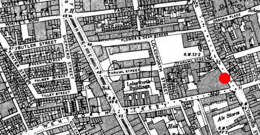
| Keywords: Spitalfields rookery.jpg en 1894 ordnance survey map of Whitechapel showing the area around en Spitalfields where many common lodging-houses were situated in the late Victorian era Red circle indicates the location at the junction of Osborn Street and en Brick Lane near where en Emma Elizabeth Smith the first en Whitechapel murders victim was attacked The building to the immediate west of the red circle is a chocolate factory Original map downloaded from http //www casebook org/official_documents/map/images/ord_map_full jpg Ordnance Survey modified by uploader 1894 amended 2009 oldOS Cropped from File Whitechapel murders jpg Jack the Ripper Ordnance Survey 2nd edition | ||||