MAKE A MEME
View Large Image

| View Original: | St John's Lodge Regent's Park from 1833 Schmollinger map.jpg (763x518) | |||
| Download: | Original | Medium | Small | Thumb |
| Courtesy of: | commons.wikimedia.org | More Like This | ||
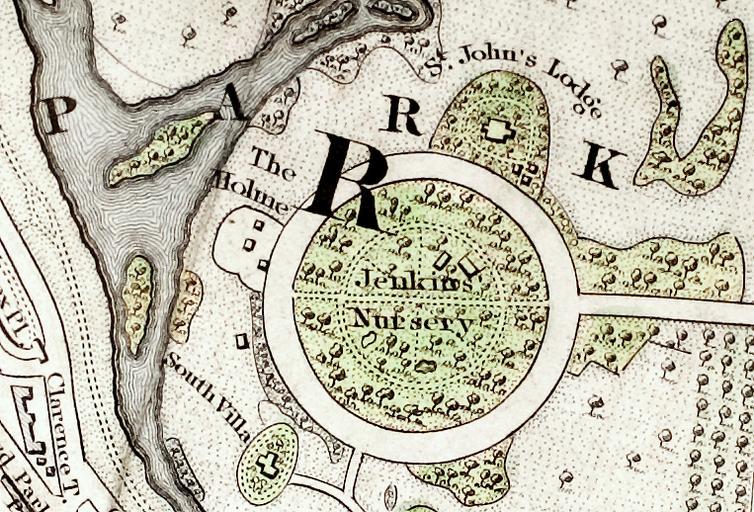
| Keywords: St John's Lodge Regent's Park from 1833 Schmollinger map.jpg 1833 map of the Inner Circle of Regents Park shows St John's Lodge on the outside perimeter at about one o'clock and The Holme at about ten o'clock The inside of the Inner Circle is labeled Jenkins Nursery Source section of Improved map of London for 1833 from Actual Survey Engraved by W Schmollinger 27 Goswell Terrace photographed for Wikipedia All rights of the photographer in this image are hereby released en wikipedia Oxyman CommonsHelper 2009-04-13 Pointillist wikipedia en Pointillist original upload log page en wikipedia St_John 27s_Lodge_Regent 27s_Park_from_1833_Schmollinger_map jpg 2009-04-13 13 28 Pointillist 763×518× 675571 bytes <nowiki>Inner Circle of Regent's Park section of Improved map of London for 1833 from Actual Survey Engraved by W Schmollinger 27 Goswell Terrace photographed for Wikipedia All rights of the photographer in this image are hereby released </nowiki> Neoclassical architecture in England Maps of Regent's Park | ||||