MAKE A MEME
View Large Image

| View Original: | Staatenkarte-grz.png (760x1230) | |||
| Download: | Original | Medium | Small | Thumb |
| Courtesy of: | commons.wikimedia.org | More Like This | ||
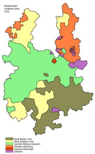
| Keywords: Staatenkarte-grz.png en map of the county of Greiz in Thuringia Germany shows which Thuringian states the territory belonged to in 1910 de Staatenkarte Landkreis Greiz; zeigt zu welchen thüringischen Staaten das heutige Landkreisterritorium in Jahr 1910 gehörte own Greizer2 09 08 2008 Maps of Landkreis Greiz | ||||