MAKE A MEME
View Large Image

| View Original: | State of New Hampshire with Counties and Towns.svg (612x792) | |||
| Download: | Original | Medium | Small | Thumb |
| Courtesy of: | commons.wikimedia.org | More Like This | ||
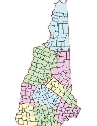
| Keywords: State of New Hampshire with Counties and Towns.svg en Map of the State of New Hampshire Counties and Towns Based on GIS Information found in the map New Hampshire Political Boundaries available through NH GRANIT Complex Systems Research Center University of New Hampshire created from Digital Line Graphs from US Geological Survey data April 2009 Adapted by Margo Burns October 11 2014 2014-10-11 13 58 23 own Ogram other versions cc-zero Uploaded with UploadWizard Uncategorized 2014 October 11 | ||||