MAKE A MEME
View Large Image
| View Original: | Stielers_Handatlas_1891_cropped._Caucasus_and_Middle_East.jpg (1012x721) | |||
| Download: | Original | Medium | Small | Thumb |
| Courtesy of: | commons.wikimedia.org | More Like This | ||
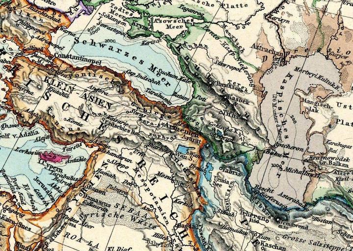
| Keywords: Stielers Handatlas 1891 cropped. Caucasus and Middle East.jpg en Map of Caucasus Asia Minor and Middle East Image Stielers_Handatlas_1891_55 jpg 1891 Original upload date 2010 12 01 01 39 UTC Stielers_Handatlas_1891_55 jpg Creator Adolf Stieler derivative work Geagea <span class signature-talk >talk</span> Stielers_Handatlas_1891_55 jpg PD-old-100 Original upload log This image is a derivative work of the following images File Stielers_Handatlas_1891_55 jpg licensed with PD-old-100 2010-03-13T07 55 16Z Kolossos 5200x4250 7066090 Bytes <nowiki>better quality</nowiki> 2006-11-21T17 42 42Z Poccil 3900x3187 1361226 Bytes <nowiki> 54 56 Asien Asia Old maps of Asia </nowiki> Uploaded with derivativeFX Old maps of the Black Sea Stielers Handatlas 1891 Old maps of the Caucasus Old maps of the Middle East Old maps of Armenia 19th-century maps of Azerbaijan 19th-century maps of Georgia Old maps of Turkey Old maps of Israel Old maps of Syria Old maps of Iran Old maps of the Caspian Sea | ||||