MAKE A MEME
View Large Image

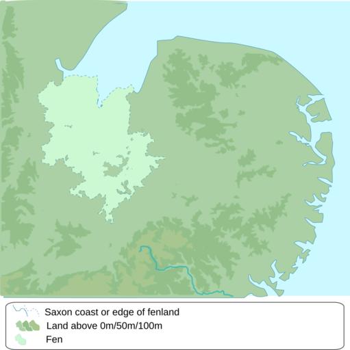
| View Original: | The kingdom of East Anglia blank.svg (646x648) | |||
| Download: | Original | Medium | Small | Thumb |
| Courtesy of: | commons.wikimedia.org | More Like This | ||
| Keywords: The kingdom of East Anglia blank.svg en wikipedia 2016 August 22 Own work map compiled from a variety of sources http //www english-heritage org uk/publications/suffolk-rczas-national-mapping-programme-report/nmpfinal02-02-05 pdf Suffolk coast prior to reclamation http //www earthtools org Flegg and the Great Estuary http //www antiquemaps com/uk/mzoom/29159 htm Fens pre-drainage http //commons wikimedia org/wiki/File EastAnglia png elevation above 50m and 100m http //www openstreetmap org/ coastline en wikipedia 2010-11-26 Amitchell125 wikipedia en Cc-by-sa-2 0 Openstreetmap Amitchell125 Original upload log en wikipedia The_kingdom_of_East_Anglia_blank svg wikitable - 2010-11-26 20 31 647×649× 229208 bytes Amitchell125 Own work map compiled from a variety of sources http //www english-heritage org uk/publications/suffolk-rczas-national-mapping-programme-report/nmpfinal02-02-05 pdf Suffolk coast prior to reclaimation http //www earthtools org Flegg and the Great Es Uncategorized 2016 August 22 | ||||