MAKE A MEME
View Large Image

| View Original: | Ts-3dem.jpg (809x768) | |||
| Download: | Original | Medium | Small | Thumb |
| Courtesy of: | commons.wikimedia.org | More Like This | ||
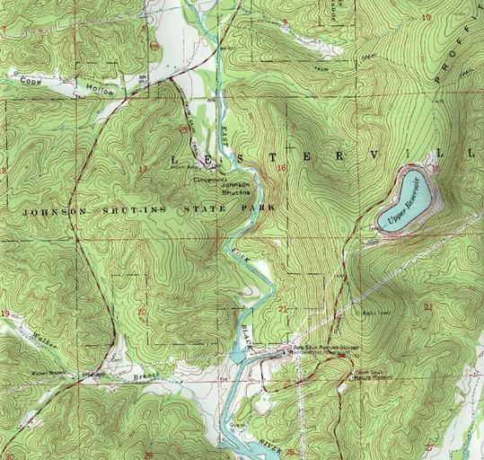
| Keywords: Ts-3dem.jpg Johnson's Shut-ins and the Taum Sauk pumped storage plant in the Missouri Ozarks Own Kbh3rd 2009-02-16 This work includes image and data from the public domain originally produced by the USGS NASA and the National Geospatial-Intelligence Agency It was produced using SRTM 30-arcsecond elevation data and a DRG representation of the 24 000 1 topographic map of the Johnson's Shut-ins quadrangle Rolla-East 24k 37090e7 Johnson's Shut-Ins State Park St Francois Mountains Taum Sauk Hydroelectric Power Station Topographic maps of Missouri Created by Kbh3rd | ||||