MAKE A MEME
View Large Image
| View Original: | USA_1829.JPG (5015x3155) | |||
| Download: | Original | Medium | Small | Thumb |
| Courtesy of: | commons.wikimedia.org | More Like This | ||
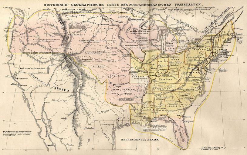
| Keywords: USA 1829.JPG I scanned the map Origin of the map HISTORISCH-GENEALOGISCH-GEOGRAPHISCHER ATLAS von Le Sage Graf Las Cases Karlsruhe Bei Creuzbauer und Nöldeke 1829 The map shows a hypothetical River Carmelo or St Phillip that can be identified with the legendary but fictive Buenaventura River Die Karte zeigt einen hypothetischen Fluss Carmelo oder St Phillip der mit dem legendären Buenaventura River identifiziert werden kann PD-old Old maps of the United States Maps showing the fictive Buenaventura River | ||||